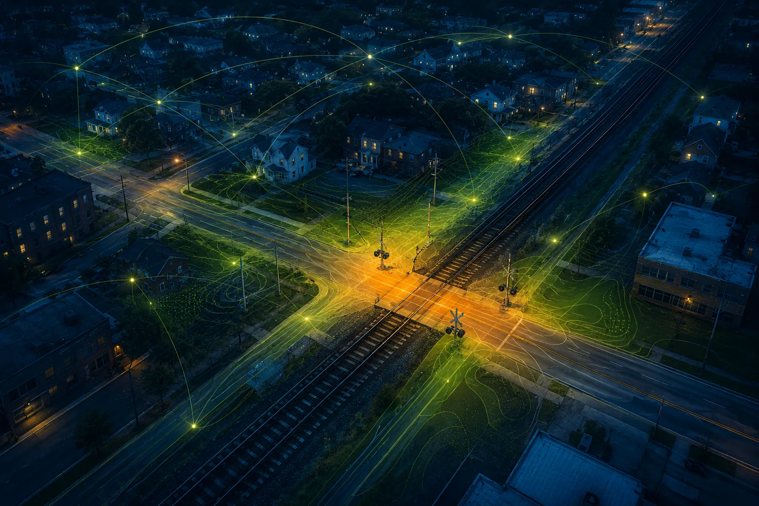
An explainable spatial-AI project exploring how the environment around railroad crossings and broader community patterns can support proactive trespassing-risk prioritization.
Move from incident response to proactive safety planning.
Railroad trespassing risk is influenced by more than a crossing alone. The surrounding place, the community it serves, and its connection to nearby locations all shape the local safety context.
Research goal
Identify priority locations and make the reasoning understandable.
The project investigates an interpretable way to estimate relative risk while showing the broad contextual evidence behind each assessment.
Public research scope / 01
Three complementary views of place
01
Physical context
The built and geographic environment surrounding a railroad crossing.
02
Community context
Aggregated characteristics that describe the communities around each location.
03
Regional context
Relationships among nearby crossings and the wider transportation landscape.
04
Interpretable evidence
High-level explanations designed to connect a risk estimate with actionable local context.
Intended value / 02
Decision support for safer communities
01
Prioritize
Help transportation stakeholders identify locations that may warrant closer attention.
02
Understand
Provide interpretable context instead of presenting risk estimates as a black box.
03
Act
Support targeted monitoring, education, planning, and safety-resource decisions.
Current stage / 03
Research in progress
Status
Model development and validation are ongoing.
The framework is being refined as part of a manuscript in preparation. This page intentionally presents only the public research direction.
Publication boundary
Technical details will follow peer review.
Architecture, variables, experimental settings, validation procedures, and results are withheld until the work is ready for publication.